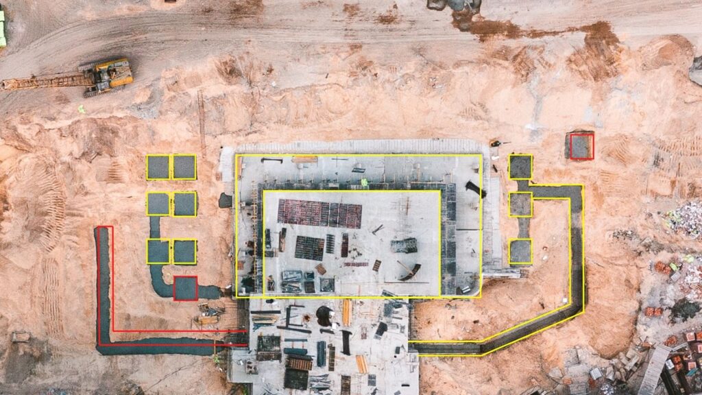
W pełni metryczne Ortofotoplany Sytuacyjne wykonywane okresowo w czasie realizacji kluczowych elementów konstrukcji fundamentowych pozwalają na:
- monitoring precyzji wykonania ław, ścian, stóp, słupów i studni fundamentowych w odniesieniu do projektu architektoniczno-budowlanego (poprzez nałożenie na ortofotoplan wektorowego planu wykonawczego i analizę rozbieżności);
- wykonywanie pomiarów kontrolnych;
- monitoring bieżących postępów prac;
- wsparcie dla procesu kontroli jakości na zakończenie etapu prac budowlanych fundamentów;
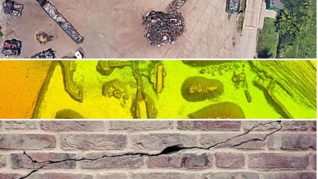
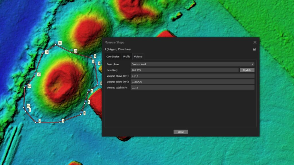
Każdy nalot okresowy pozwala na wygenerowanie gęstej chmury punktów (Dense Cloud) do celów analizy przestrzennej i pomiarów 3D.
Dane zebrane podczas nalotów fotogrametrycznych pozwalają również na bardzo precyzyjny pomiar kontrolny bezpośrednio na zdjęciach “metodą wielokrotnego wcięcia w przód” tuż po procesie aerotriangulacji (szybka metoda nie wymagająca generowania gęstej chmury punktów).